We Have to Count the Clouds | 2011-present

We Have to Count the Clouds (four by six), 2012

National Weather Service Office, New Braunfels, TX, 2013

First and Last Killing (frost), 2012

After Wildfire, Bastrop, TX, 2012

Rain Gauge, 2012

Anemometer Record, Blue Hill Meteorological Observatory, 2012

Sunshine Card, 2012
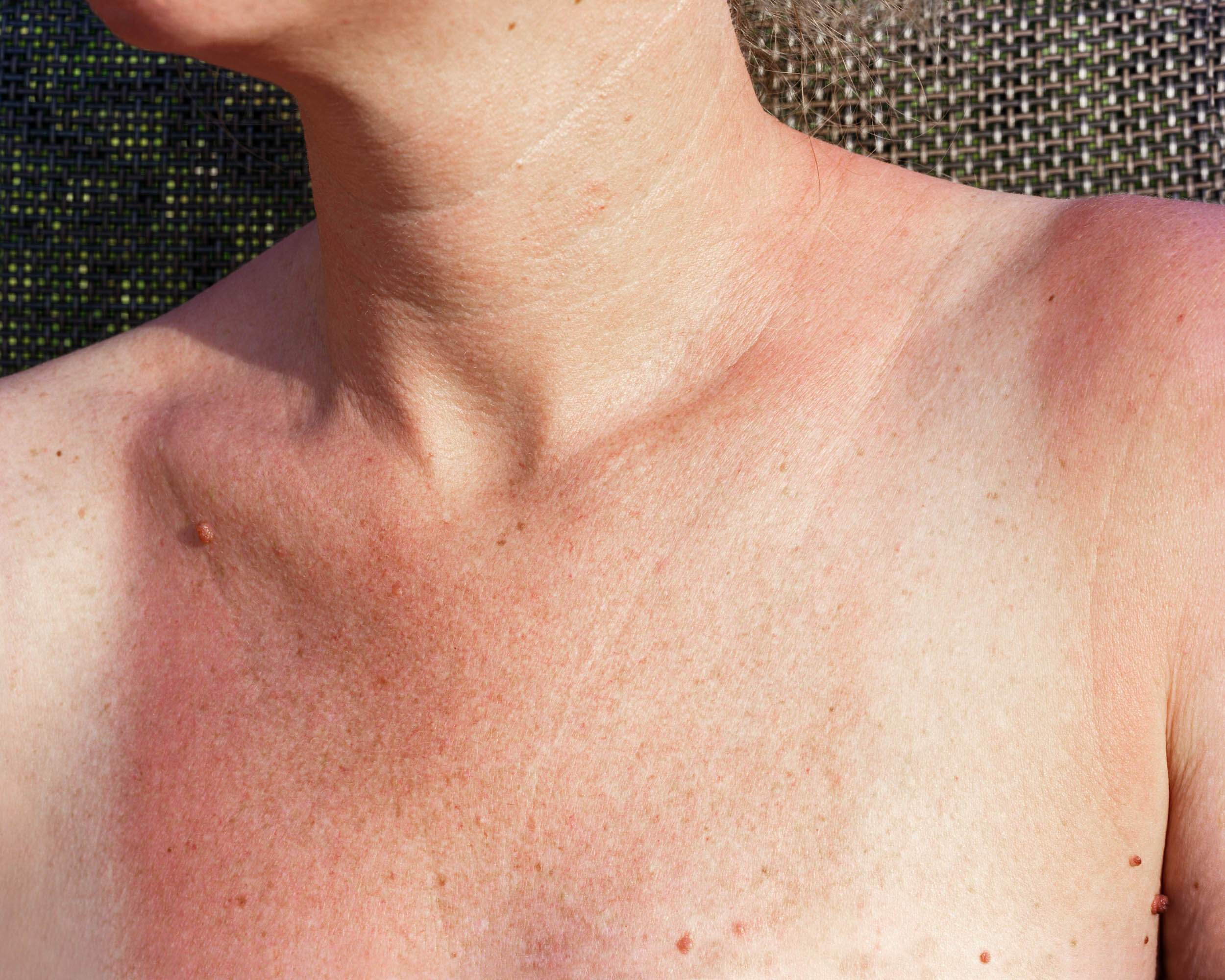
Sunburn, 2013

Sun and Smoke, Idaho, 2016

Erosion, Aquinnah, MA, 2018

Goosebumps, 2019

Lake Travis (low water), 2013

Lake Travis, 2012

Levee, New Orleans East, 2015
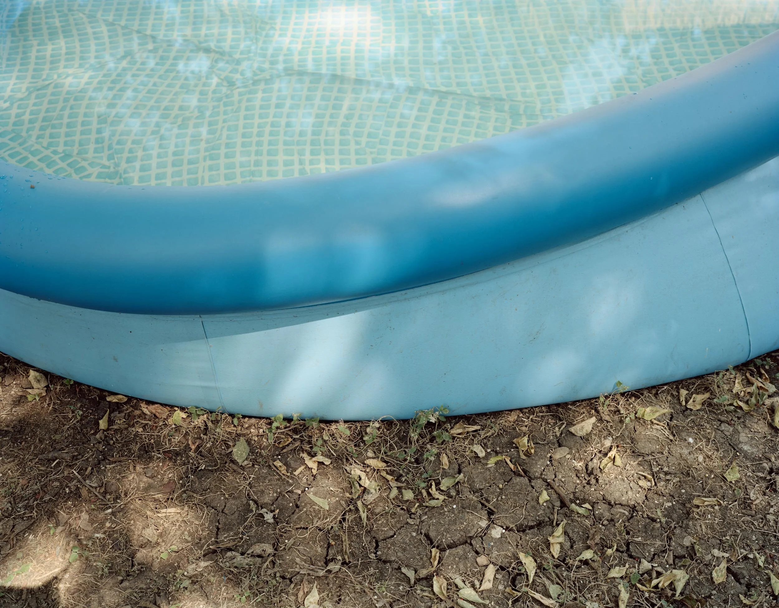
Pool, 2013

Snow Fort, 2014

Weather Balloon, 2012

Great Salt Lake, 2016

Wind, 2018

Windsock, Galveston, 2015
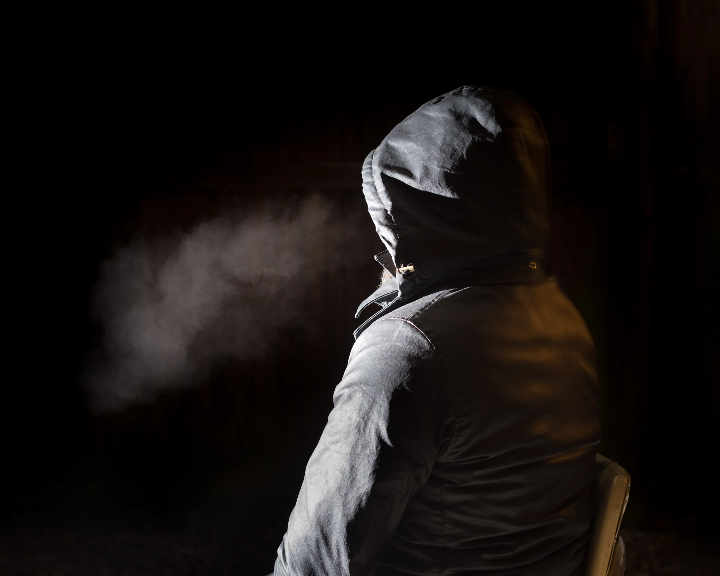
Breath (winter), 2017

Debris from 2011 Mississippi Flood, Old River Control Structure, 2015

Doppler Radar, Wabaunsee County, KS

Levee, New Orleans, 2015

The Hottest Day, Wall Street Journal , 2011
We Have to Count the Clouds | 2011-Present
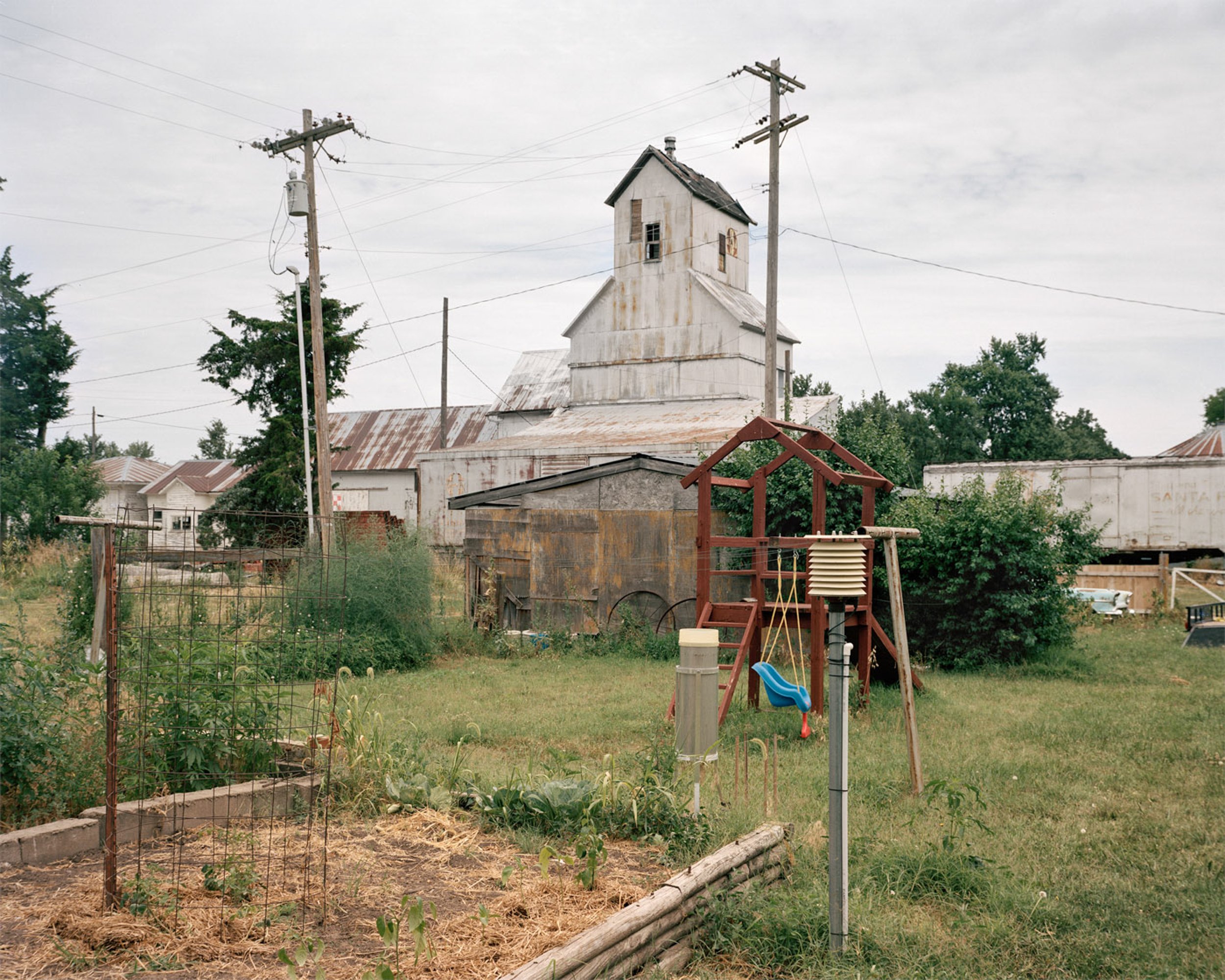
In the series We Have to Count the Clouds, photographs function as evidence of the ways we comprehend and mediate our relationship to both daily weather and our changing climate. In looking closely at the marks that are made–in the prediction of weather, the tracking of meteorological data, as well as on the landscape and human body itself–the work presents visual remnants of often-invisible forces.
I seek out the permanent traces of what is sometimes hard to see, hard for some to believe. Wondering what proof looks like, I find these marks in weather stations, in the form of a graph or handwritten climatological record. The landscape shows evidence as well–cracked earth, flood debris, charred trees, erosion. Other indicators, immediate and often temporary, like sunburn or goose bumps, appear on the human body. Promising protection, the built environment of levees, floodgates, and sirens have become monuments to our vulnerability.